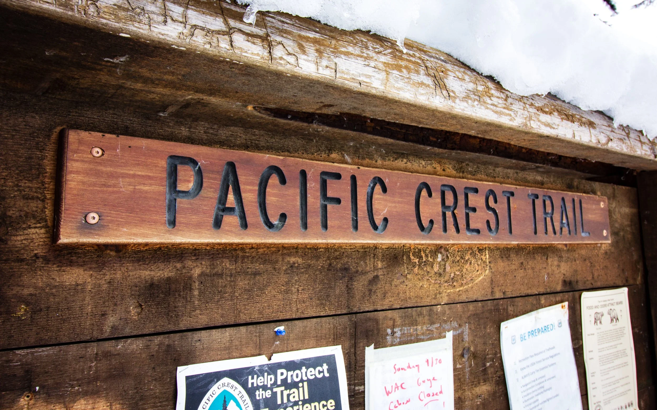
Will the PCT be Open this Year? Useful Resources to Plan Your Trip
Will the Pacific Crest Trail (PCT) open any year? Beyond the blisters, sore muscles and mental anguish of the daily grind, environmental barriers are adding to the challenge of this iconic through hike. Snow, water, fire, smoke…are some of the conditions recently impacting hikers. We’ve had students hike from Southern California to the Sierra’s only to find it closed by snow. Others have made just shy of the Oregon border before they were turned away by wildland fires. Even if you aren’t confronted by the fire itself, West coast conditions in the summers have become unhealthy at times due to smoke.
As many of our students are finalizing their plans for backpacking the Pacific Crest Trail (PCT) this year, we thought we would share some of the resources we use to plan classes, and assess risk management. This year is turning into an interesting one as atmospheric rivers have inundated central California bringing feet of snow to the Sierras. But, it is not just the snow that causes problems. Years ago, I had to cancel a trip to the Hooper Diversion on the San Joaquin River because Florence Lake rose 10’ in a day. When it rose another 10’ the next day, they had to open the spillway because so much snow had melted on an 80º May day that the dam was going to overflow. Rangers were evacuating campers on the far side of the river before they became trapped by high waters.
We can’t predict the future but what resources are out there to better plan our trip? How can we make our trip safer and ensure success? A lot depends on your location as to how many resources are available and your activity to what is important to check. Before each class we review conditions as part of trip and risk management plans. The winter and spring classes in California were impacted by high winds, rain, flooding, rock slides, road damage, power outages leading to damaged facilities, road/trail closures, roads washed away and facility closures. With proper planning, all the classes ran successfully but a lot of logistical changes were made along the way.
Trip reports are a great starting point.
Finding a local resource with trail conditions and reports from people who have been there recently is a great starting point.
Trail conditions - Pacific Crest Trail Association
Weather conditions are a must.
Forecasts might not always be accurate but it gives you an idea of what you might be walking into
Windy Hourly predictions and weather maps to see future conditions
Mountain Forecast.com Great to see the weather at different elevations
Avalanche centers are important for any kind of winter travel.
Avalanche.org (National Avalanche Center)
Eastern Sierra Avalanche Center
Sierra Avalanche Center (Lake Tahoe Area)
Central Oregon Avalanche Center
Northwest Avalanche Center (Washington)
Snow Depth conditions are available from a number of resources.
NOAA Interactive Snow Information
Current and contained fire information.
Historically, they don’t have information if it is a new start or a small local fire but will have information on major events that are closing a forest or large park.
Smoke conditions can be found at the local air resources board or at AirNow
Water Conditions
especially important for rafting, kayaking, and other water sports.
NOAA Hydrologic Forecast River conditions
Surf Conditions
Road Conditions
Since you can’t go hiking if you can’t get there, some west coast resources are the interactive maps at these state resources.
California Department of Transportation
Oregon Department of Transportation
Washington State Department of Transportation
If you are using a mapping app like Gaia GPS, you can check trail conditions by altering the layers that overlay the base map. Layers are available for current wildfires, avalanche, snow, rain, and smoke forecasts, or even slope angles that can be placed over your topographic map helping you stay informed in the field. A good example is their article on layer usage can be found at Find Snow-Free Trails with the Snow Depth Map.
Other considerations are cameras that show real time conditions.
If you are planning a trip on the PCT, Backpacker Magazine had an interesting article on the hazards found this year at Here’s What This Year’s Record Snow Means for Pacific Crest Trail Hikers.
What resources are you using? Leave us a comment below.
Author:
Peter Robbert is the Clinical Coordinator for BMG. He is a retired Fire Captain/Paramedic and has been instructing medical and rescue skills since 2007. He has a masters degree in Outdoor Adventure and Expedition Leadership from Southern Oregon University specializing in trip planning and risk management.